- This event has passed.
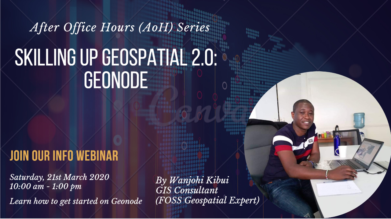
Skilling Up Geospatial 2.0: Geonode
April 4, 2020 @ 10:00 am - 1:00 pm

WiGISKe community brings together a community of data enthusiasts together to review, analyse and visualize gender-based datasets.
We are able to come together to make a difference through :
- Networking events themed around emergent trends and technologies in geospatial.
- Knowledge transfer sessions
- Professional Development (AoH Sessions)
- Data Viz Challenges
- Projects
With an aim to improve the competencies in Data Management, Analysis and visualization, WiGIS holds Webinar sessions covering different topics every quarter.
Cloud computing has been one of the dominant trends regarding accessing computing resources such as processing, storage and software. While some have considered that geographic information science (GIS) as a discipline was a late adopter of the cloud, the convergence of GIS technology with cloud computing has had a profound impact on the ability of GIS professionals to leverage spatial applications and information.
Skilling up for Geo 2.0 is an After Office Hours(AoH) webinar series designed to do an overview of all the service models available to GIS users in a cloud computing environment. This can give us an understanding of the flexibility that cloud computing environments give GIS users in terms of data computations, mapping and visualizations, spatial analysis (native to the desktop versions) and data sharing.
Sign up for the very first session which will focus on setting up Geonode: An open-source platform that facilitates the creation, sharing, and collaborative use of geospatial data.
Geonode brings together mature and stable open-source software projects under a consistent and easy-to-use interface allowing non-specialized users to share data and create interactive maps. Data management tools built into GeoNode allow for integrated creation of data, metadata, and map visualizations. Each data-set in the system can be shared publicly or restricted to allow access to only specific users. Social features like user profiles and commenting and rating systems allow for the development of communities around each platform to facilitate the use, management, and quality control of the data the GeoNode instance contains.
It is also designed to be a flexible platform that software developers can extend, modify or integrate against to meet requirements in their own applications.
This session will be conducted by Wanjohi Kibui, a renowned FOSS Geospatial expert.
Some of the Geonode instances being used to facilitate data standardization:
We already had our first introductory session. Stay tuned for the follow-up practical session coming in two weeks.